
The smoke here in Las Cruces wasn't as bad as expected this morning as this photo taken at 8am shows.

For the remainder of Thursday the smoke will probably be transported toward the west-southwest.

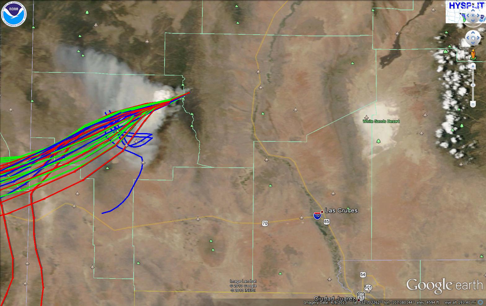
By late morning pyrocumulus could be seen from MODIS. Below is the Terra MODIS image from this morning with Hysplit predictions from the fire.
I could briefly see the pyrocumulus cloud from my office in Las Cruces at around noon while visibility was very good. A few cumulus clouds are making it harder to see now by 3 pm. As of 5 pm the smoke plume had traveled southwest into Arizona and covers most all of Hidalgo County.

In other news, today's high temperatures were near record across the borderland today. So far the high at NMSU was 106F that I observed at 3:30pm. So far the high at the Las Cruces airport is 105F and also 105 at the El Paso airport ASOS KELP.
No comments:
Post a Comment