Jan. 26 - Low at the NMSU Coop station was 24F (29.2F is our normal). Our high for today was 57F a few degrees below normal after a cold front passing through the region this morning. This morning sounding at Santa Teresa showed a low level inversion in the first 250 meters. The blue shaded colors on the right side of the plot shows 5 stable layers in the lowest 3 km or 600 mb pressure level. The lowest level one is the strongest and will prevent ground level sources such as unpaved road emissions from dispersing. Since this was the 12 UTC sounding this part of the profile probably occurred around 11 UTC (4 am).
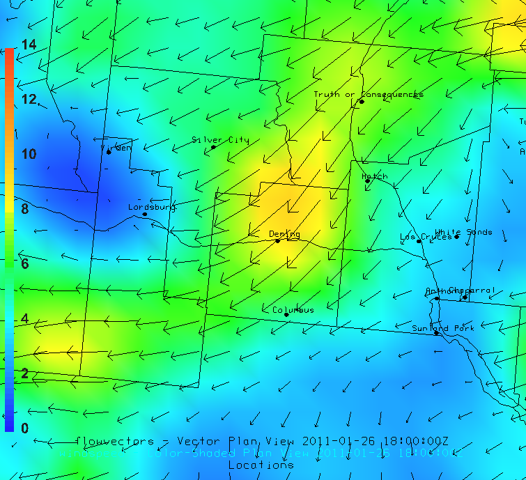
Winds from the northeast late in the morning are likely the highest in northcentral Luna County. Map below shows the surface wind forecast for 18 UTC (11 am).


No comments:
Post a Comment