
Looking at the 15Z RUC run we see peak westerly winds in the afternoon. The map below is for 21Z (2 pm) today. For Las Cruces, El Paso, and Cd. Juarez the peak is around 20-21Z (1-2 pm) this afternoon based on the 15Z RUC update.

Changing the color scale for the same hour (2 pm) as the map above, the peak winds in miles per hour are through extreme northern Chihuahua, Luna County, SW Dona Ana, southern Grant and eastern Hidalgo.


I noticed that visibility was going down quickly due to dust around 12:30 pm in Las Cruces. As of 1 pm hourly PM10 at SPCY was 871 µg/m3 and PM2.5 was 73 µg/m3.
At 3 pm the Deming Airport hourly PM10 reached 6200 µg/m3 with hourly winds of 16 m/s (36 mph) and gusts at 26.2 m/s (59 mph). The hourly averaged PM2.5 at NMSU was 80 µg/m3 at 3 pm today. Visual range decreased to 2 miles at the Las Cruces Airport at 3:50 pm with 28 mph winds and gusts to 43 mph.
The EPA AQI plot at 6 pm reflects the dust storm but doesn't give any indication of the levels west of Deming.

Movie of the day as seen from Skeen Hall on the campus of NMSU (looking west)
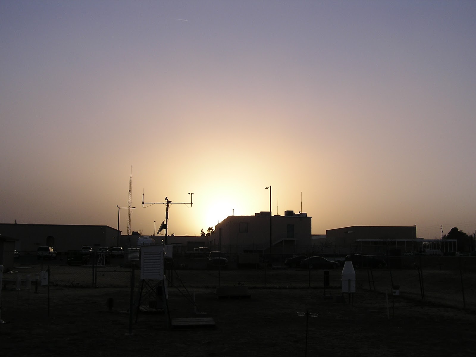
A westward view shows a milky sky at 5:38 pm from the NMSU campus

and at 5:51 pm at the NMSU weather station.
Interestingly there was a spike in ozone at the NMED Hurley station today. Peak hourly ozone reached 78 ppb at 3 pm.

No comments:
Post a Comment