
We're back to a windy, dry, and warm pattern. Winds will be out of the west and westsouthwest today with the highest winds to our north in Sierra, northern Grant, and Catron counties.


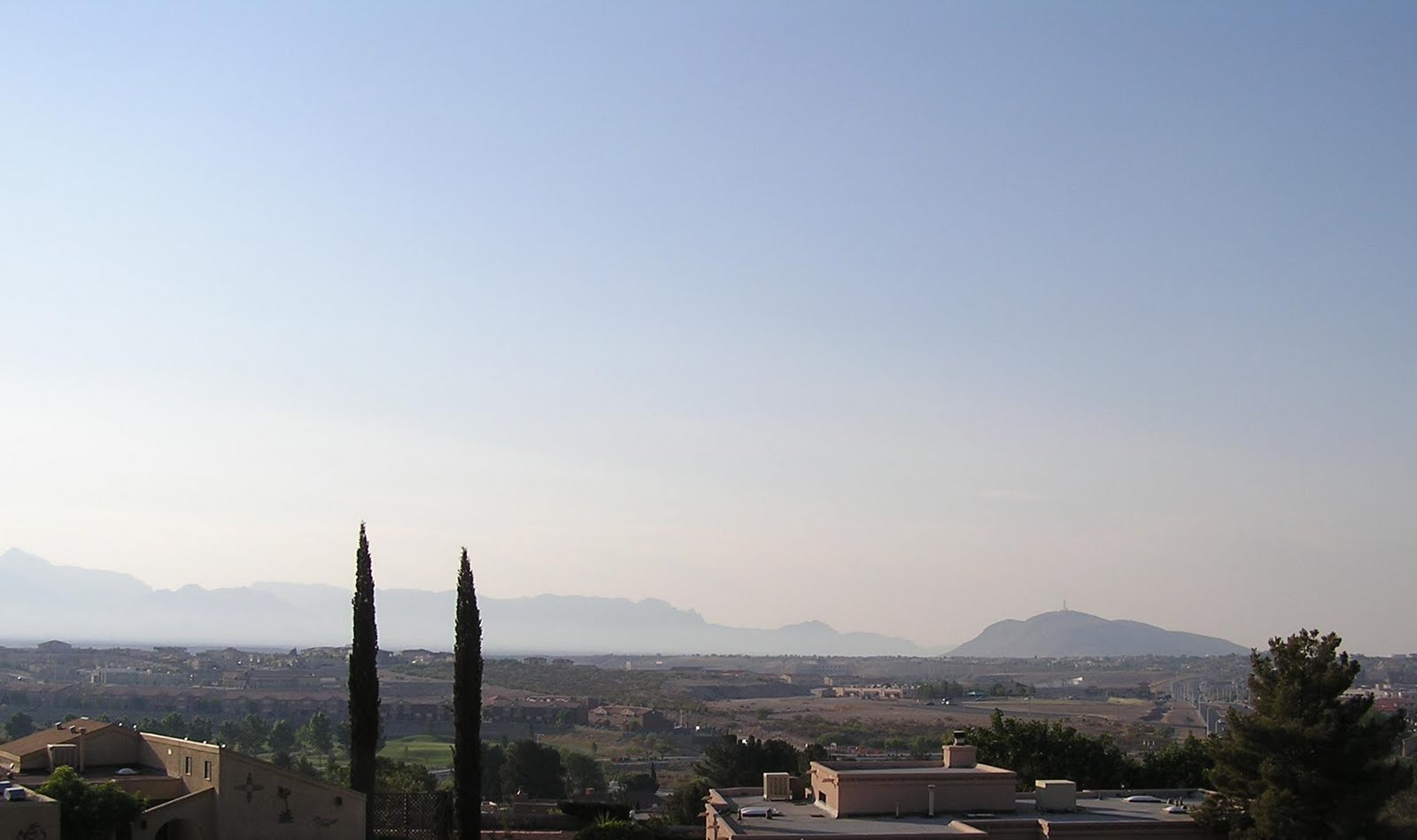
There was some haze this morning in Las Cruces.
Running the Hysplit model for this morning from Las Cruces I see most of the backtrajectories come from the west over the past 21 hours. Those are the red, blue, green, orange and yellow lines. Prior to that the backtrajectories were from the southeast (teal, light green and pink lines). This was run with 40km EDAS winds with a 500 meter starting height.

Based on 12-km NAM windfields and the Hysplit model the Wallow Fire smoke plume is expected to again infiltrate most of Northern New Mexico including Albuquerque and Santa Fe. The map below shows the model forward trajectories from the fire at starting heights of 500m (green), 1km (red), and 3km (yellow). The model began with a trajectory at 2 pm today and making one every 3 hours, ending on 9 am tomorrow morning.

I just noticed the plume of a large fire along the Sonora/Chihuahua border this afternoon. This might also contribute to smoke in southern New Mexico if the fire continues to grow with southwest winds. The map below is the NOAA HMS product at 4pm.

The view from GOES at 7 pm shows the two large Arizona smoke plumes blowing into New Mexico with the southwest transport winds.

As of 10 pm the AQI shows a large part of NM with moderate air quality (yellow) and a patch of categorized as unhealthy for sensitive groups (orange).

No comments:
Post a Comment