The weather looks to be a similar to yesterday along the southwest border. Our morning low today at NMSU was 60F which is very close to our long term (1959-2011) average low of 59. The wind patterns for this afternoon according to the 12Z RUC forecast show southwesterly winds over most of the region.
I noticed a layer of haze this morning in Las Cruces. It is most likely lingering haze transported in from the Horsehoe 2 Fire from last night. The photo below was snapped at 8:03am looking east toward the Organ Mountains.
The 6 am sounding at Santa Teresa show stable layers near the surface, 3.3 and 4.6 km above mean sea level (MSL). Based on a look at Google Earth the notch in the mountains in the far left is about 1.9 km MSL close to the base of the haze layer.
This morning's ceilometer backscatter product located at NMSU showed an elevated layer of aerosols starting at 7 am at a hieght of about 400 meters (1312 feet) above the ground. It shows up as the red/orange layer in the middle of the plot. My guess is that this thin layer of aerosols is the same smoke layer that was in the photo above.
The Horseshoe 2 Fire smoke plume is likely to drift toward the east today, a little different than yesterday. Recall yesterday it traveled more toward the northeast. Trajectory colors are 500 (green), 1500 (blue), and 4000 (red) meters above the ground. The trajectories start at 15 UTC (9 am MDT) and are shown every 3 hours till tomorrow morning at 6 am. If the predictions are right we'll get more haze today compared to yesterday. Yesterday's visibility was very good considering all the fires in the region.
The Deming profiler is showing westerly flow near the surface and southwest flow aloft this morning.
The Wallow Fire smoke plume will continue to drift northeast today based on Hysplit predictions driven by 12km NAM winds. Trajectory heights are the same as in the Horseshoe 2 map above.
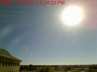
As of 5:30 pm, the visibility in Las Cruces is still very good but I can see a distant smoke plume at the horizon.
I started the Minivol PM2.5 samplers with Teflon filters on campus and will continue to collect 24-hour filter samples (midnight to midnight). Also collecting 5-minute PM2.5 with the TSI DustTrak at the same location. My betagauge PM samplers, neph, and ozone analyzer are down in the core site due to electrical problems with the 100 amp main. I called an electrician and hope to have it resolved by early next week.
At 7pm GOES was showing the Horseshoe 2 Fire smoke plume drifting east-northeast and a the Wallow plume moving east. You can also see the 600 acre Augustine Fire plume that was reported around 5:30pm east of the Organ Mountains off of highway 70.
Looking west from Las Cruces at 7:41pm the Horseshoe 2 smoke plume was visible.
A time lapse view of the day looking west from the NMSU campus shows the Horseshoe2 Fire smoke plume visible starting at around 6 pm.


No comments:
Post a Comment