
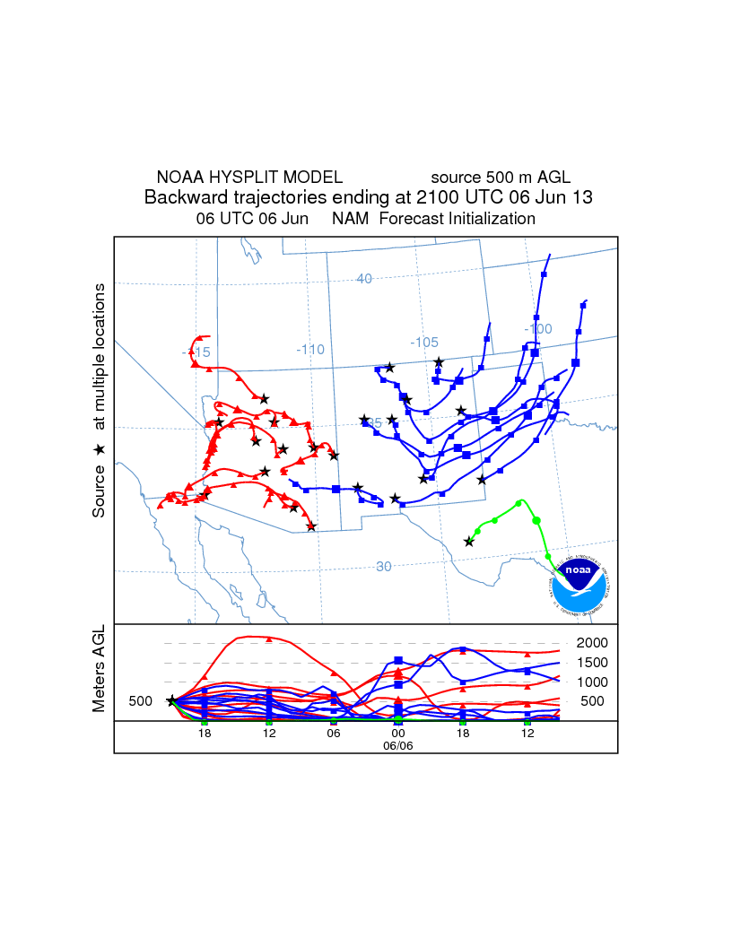
I woke up to a hazy view of the Organ Mountains today from my balcony in Las Cruces. I was in a rush this morning to get in early to prepare for a day in the field so I didn't get a photo. I wish I did. The haze was thick with estimate visibility of around 5 miles or so. I didn't smell smoke so that was eliminated. Looking at the dewpoint temperatures in the low 40s and RH in the 30% range ruled out a haze due to water droplets. Next I looked at the GOES IR image for this morning and that provided a real clue as to where the haze likely came from. Below was the 1302 UTC infrared image and you can see the remnants of the storm in the Panhandle of Texas. Earlier in the morning it was over eastern NM. Looking at an animation of the overnight images you can faintly see an outflow boundary coming from that cell. The radar reflectivities also shows that boundary and likely haboob moving across NM. Since it was overnight you can't see it and nobody was looking for it.

I spent the day in the Columbus and Deming area and it was hazy there as well.
No comments:
Post a Comment